Crop Record
A map-based tool that lets California growers record crop lifecycle, chemical use and stay CDFA-compliant.
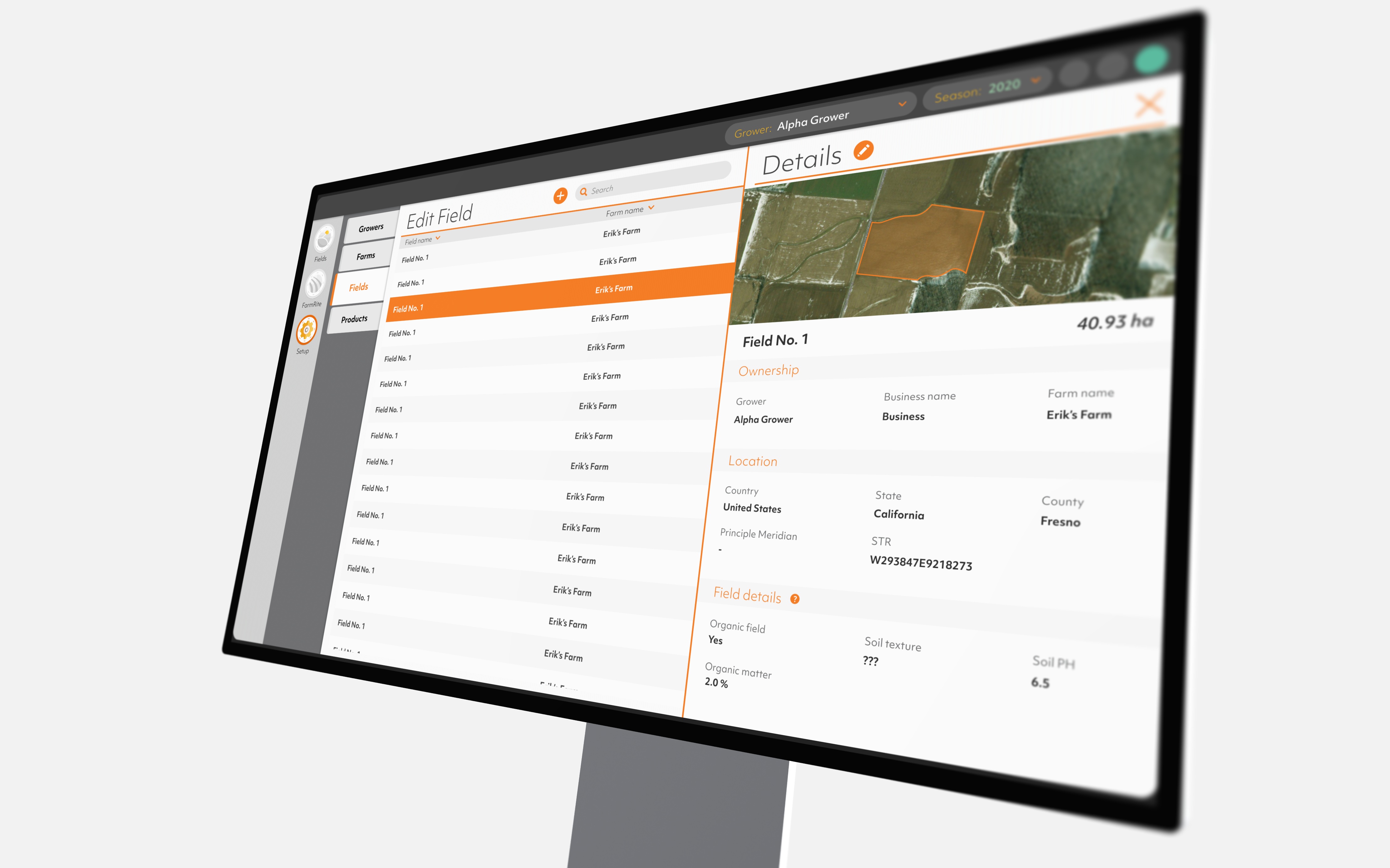
The problem
California growers must document each crop's attributes and every pesticide and fertilizer application to meet CDFA compliance. But crop boundaries shift, split, and overlap across a season, and the client's existing UI couldn't capture that without producing data errors.
My role
Sole product designer, embedded with two delivery squads over six months. End to end, from UI audit to high-fidelity handoff.
Outome
Validated with the client's domain experts, built by the squads I worked with, and shipped to production in Sirrus.
Context
This work lived in Sirrus, Proagrica's platform for growers and agronomists. The model is Grower → Farm → Field → Cropping, and a Crop Record groups a cropping's boundaries, crop, dates, and inputs.
For growers that record is the basis for compliance: its crop, dates, and input details decide its permit state: Permitted, Non-Permitted, Unknown, or Waiting. Get it wrong and the cropping can't clear.
The hard part is that a cropping is spatial and moves over time. One record can span several boundaries (three 20.56-ac boundaries make one 61.68-ac cropping), and across a season they get split, reassigned, and re-dated. I started not from a blank canvas but from the client's existing UI, which my audit found redundant and ambiguous in key places.
Role, team & constraints
Sole product designer, embedded with two squads — 2 FE, 4 BE, 2 QA, over six months, owning the experience from audit to handoff. I partnered with a Business Analyst and the client's BA team, a Product Owner, a UX Researcher, and Proagrica's Director of Agronomy Solutions.
Two constraints shaped the work: everything had to survive as a build spec for two squads, and I could validate with client-side experts but not end growers.
The core challenge
How do you let someone draw and edit crop boundaries on a map, attach the data a cropping needs, and handle splits and overlaps across a season, so that every Crop Record stays unambiguous enough to clear compliance?
The interesting work wasn't the forms; it was the spatial-and-temporal logic of croppings that move while still resolving to a clean, permittable record.

Farm hierarchy
One farm can have multiple fields and fields can have multiple rotational crops.